The DJI Multispectral is an effective aerial survey that must be able to see the invisible. That’s why the Mavic 3 Multispectral has two modes of vision. It combines an RGB and a multispectral camera to scan and assess crop growth with complete clarity. Mavic 3M provides precision and data for agricultural crop management.
Multispectral + RGB imaging system: :A highly integrated imaging system
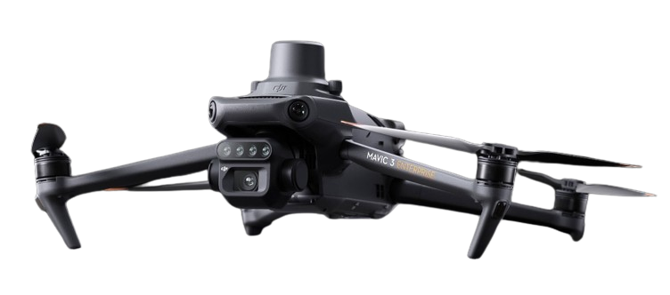
The imaging system has been improved with one 20MP RGB camera and four 5MP multispectral cameras (green, red, red edge, and near infrared). Enables high-precision aerial surveying, agricultural growth monitoring, and natural resource surveys.
Efficient and reliable battery life: Ultra-long battery life, fast bursts
43 minutes Cruise time, A single flight can finish mapping activities over a 200-hectare area.
Fast charging.
High-efficiency 100W battery charging hub for quick charging.
Fast 88W charging for aircraft.
Sunlight Sensor: The built-in sunlight sensor detects solar irradiance and saves it to an image file, allowing for light adjustment of image data during 2D reconstruction. This yields more accurate NDVI readings, as well as better precision and consistency of data collected over time.
RTK module: The Mavic 3M has an RTK module for centimeter-level positioning, resulting in accurate and pixel-perfect photos. Flight control, the camera, and the RTK module work together in microseconds to precisely pinpoint the location of each camera’s imaging center. This enables Mavic 3M to conduct high-precision airborne surveys without the use of ground control stations.
Omnidirectional obstacle sensing: The aircraft is equipped with several wide-field of view vision sensors that detect objects in all directions, allowing for omnidirectional obstacle avoidance. Terrain-follow aerial surveying is simple to carry out on steep slopes.
Integrated Data Analysis Tools: This drone includes robust data analysis tools that interpret multispectral photos to deliver actionable information about crop health, soil condition, and water requirements. These tools assist in making informed decisions that increase production and prevent resource waste.
Real-Time Data Transmission: It also provides farmers and agronomists with rapid insights on crop conditions. This feature allows for rapid decision-making and action, considerably boosting crop management tactics.
Gimbal Cameras: The DJI Mavic 3M has four 5.5MP single-band cameras and a single 20MP RGB camera. The single-band cameras have the following wavelengths: green (550 nm ± 16 nm), red (650 nm ± 16 nm), red edge (RE): 730 nm ± 16 nm, and near-infrared (NIR): 860 nm ± 26 nm.
Aerial Surveying and Application: The DJI Mavic 3M can do terrain-follow aerial surveys using downward vision. It may also import DSM data to conduct terrain-following aerial surveys.
The DJI Pilot 2 App may import DSM data for terrain tracking during aerial surveys. The DSM files are imported as follows: Flight Path > Create Flight Path> Mapping Mission > Terrain Follow > DSM File Selection > Choose Table of Contents > Internal Storage/SD Card > Find the DSM file to import.
The DJI Mavic 3M remote controller supports the real-time display of vegetation indicators, such as NDVI.
Flight height is 500 meters, with a maximum horizontal speed of 21 m/s and a minimum of 1 m/s (no wind, near sea level).
The DJI Mavic 3M can do terrain-follow aerial surveying with downward vision. It can also input DSM data for terrain-following aerial surveys.
Automated Workflow for Data Processing: Supports an automated data processing procedure, making multispectral data analysis more efficient. This automation speeds up the process of converting data into useful insights, which is critical for timely agricultural interventions.
Integrates seamlessly with farm management software: Easily connects with top farm management software systems, enabling for easy data transfer and analysis inside existing agricultural processes. This connection improves decision-making and overall farm management efficiency.
Omnidirectional obstacle detection and terrain-following aerial surveying. The aircraft is equipped with several wide-field-of-view vision sensors that detect objects in all directions, allowing for omnidirectional obstacle avoidance. Terrain-follow aerial surveying is simple to carry out on steep slopes.
Multispectral + RGB imaging system.
A highly integrated imaging system. The imaging system has been improved with one 20 MP RGB camera and four 5 MP multispectral cameras (green, red, red edge, and near infrared). Enables high-precision aerial surveying, agricultural growth monitoring, and natural resource surveys.
Intelligent field scouting
The Mavic 3M can conduct automatic field scouting. Field scout photographs can be uploaded to the DJI SmartFarm Platform in real time via a 4G network.
It can detect anomalies such as emergence defects, weed pressure, and crop lodging in a timely manner. It can also perform intelligent analyses such as cotton seedling identification and rice production testing, utilizing AI identification for real-time crop growth information sharing, agronomic activity advice, and one-person management of 70 hectares of farmland.
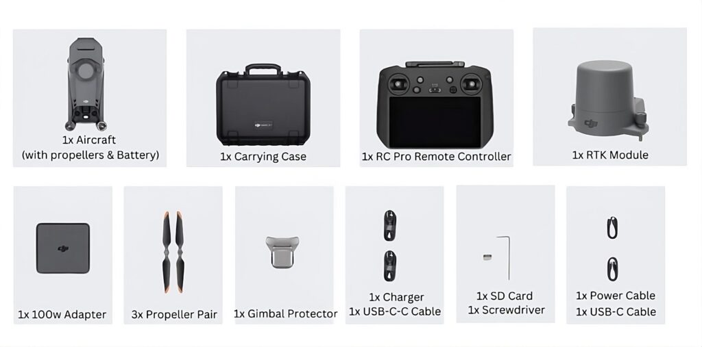
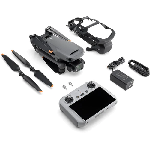
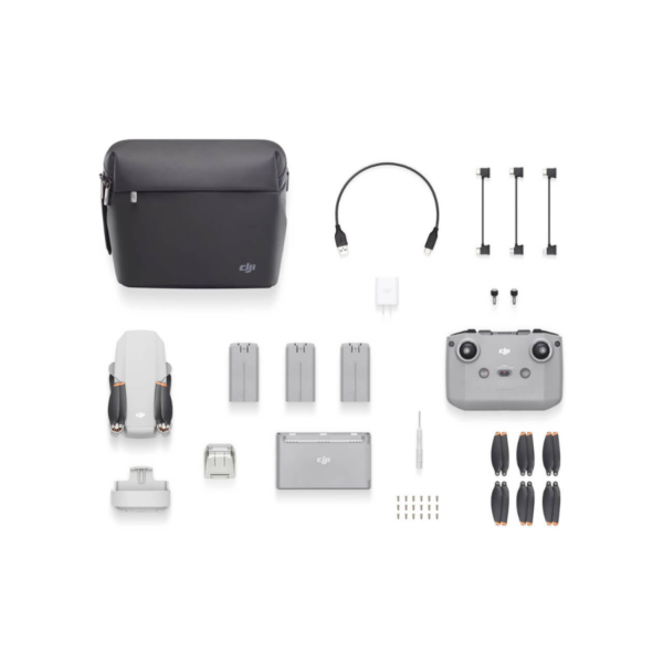
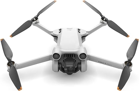
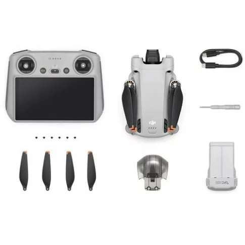
In the Box








Reviews
There are no reviews yet.